
Bernalillo County Block Records
For a Bernalillo County block, first determine whether the seed address is within Albuquerque or unincorporated county territory. City and County systems do not cover the same jurisdiction. The City Advanced Map Viewer and Address Report give municipal parcel and boundary context. The County Planning and Development Services Public Advanced Viewer provides reference map data for unincorporated platted parcels. After the map resolves the parcel, the Assessor or Treasurer can supply the property-account context, and the Clerk Kiosk can connect the legal description or parcel number to recorded instruments.
| Source | What It Shows | Access |
|---|---|---|
| City Advanced Map Viewer | Municipal address query, parcel context, boundaries, and adjacent polygons. | Use for City addresses; it is not the County zoning system. |
| County Public Advanced Viewer | Unincorporated platted parcels, address components, lot, block, subdivision, PIN, and map context. | Reference-only map data, updated twice monthly. |
| Assessor Property Records | Property-account and owner-record context by address or parcel. | Data may be preliminary, incomplete, or not real-time. |
| Clerk Records Public Access Kiosk | Grantor, grantee, document number, date, and legal-description trail for one adjoining parcel. | Recorded transaction context, not a neighbor roster. |
| Neighborhood coordination contacts | Community organization and meeting-information layer where a group publishes it. | No complete official association directory or membership list was verified. |
A map gives a spatial relationship, not a present-tense claim about residents. A parcel account can identify an owner or a mailing field, but the owner may not occupy the property. A recorded deed identifies parties to a recorded transaction. Use each result only for the fact it records, and keep the City-versus-County boundary in the search notes.
Map Bernalillo County Neighbor Parcels
The repeatable block method is address to parcel, then parcel to legal record. In the City map, use the address query and identify the seed parcel. In unincorporated areas, use the County map's visible identification and selection tools. Record the parcel identifiers and address components before moving to a neighboring polygon. County map data includes street number, street name, designation, quadrant, apartment, PIN, lot, block, subdivision, and jurisdiction fields. Those details reduce the risk of mixing up two similar addresses.
- Enter the seed street address in the City viewer for municipal property or the County viewer for an unincorporated address. Confirm the street number, designation, quadrant, and jurisdiction.
- Identify the seed parcel and copy its UPC or PIN, legal description, lot, block, subdivision, and situs address where the map displays those fields.
- Pan or zoom to the polygons that directly adjoin the seed parcel. Identify each parcel individually and record the same fields rather than estimating from a map label.
- Use the Assessor or Treasurer record for address or parcel context. For a title question, use the Clerk Kiosk's parcel or legal-description fields and compare the legal description before following a grantor or grantee.
The City viewer's address and parcel functions are shown on the official Advanced Map Viewer page.
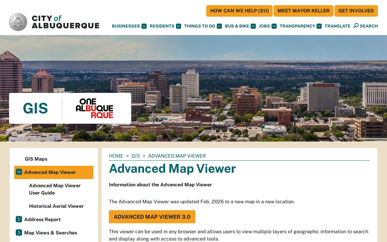
The municipal viewer is useful for the immediate block, while an unincorporated address needs the County viewer and its separate reference data.
For a full named-street chain rather than the immediately adjoining parcels, use the Bernalillo County street directory to continue with the street-by-street method.
Note: The County research did not capture a specific buffer or radius control, so use the visible identify workflow or ask PDS GIS about a particular map task.
Bernalillo County Block Map Boundary
Nearby parcels may sit across a City and County records boundary. Albuquerque's City viewer includes more than 200 layers and can provide address, Assessor parcel, zoning, boundary, facility, construction, and permit context. Its Address Report includes Assessor property ownership, City services, political boundaries, and school districts. The report does not include County zoning. An address that is called Albuquerque in everyday use can still need County PDS GIS, County Accela, and the County Clerk route if it lies in unincorporated territory.
The City parcel feature service identifies fields such as UPC, owner, situs address, owner address, legal description, and acres. It gives a useful bridge between a map polygon and an official property search, but its owner field has a narrow meaning. The service does not identify every person at a parcel or confirm a current household.
The City's parcel service is documented in this official feature-service capture.
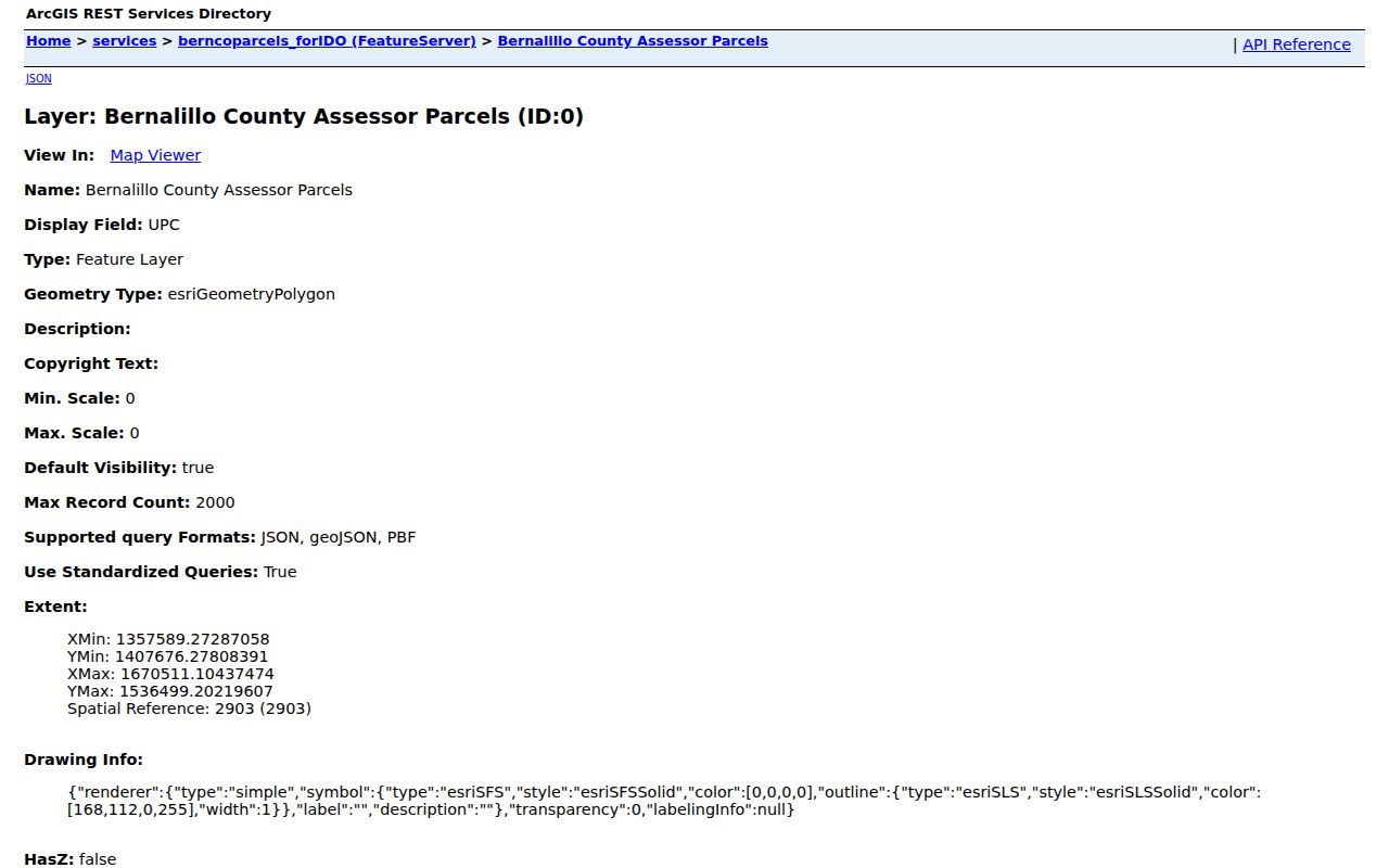
UPC, situs, owner address, and legal-description fields give a researcher a way to reconcile a map selection with the Assessor and Clerk sources, not a basis for inferring occupancy.
Bernalillo County Neighbor Owner Records
Ownership, mailing contact, and site address are different facts. The City's inspected property service uses separate owner-address and situs-address fields. The same distinction appears in County property work. A site, or situs, address identifies where the property is located. An owner mailing address is where a record may send correspondence. A legal description connects the site to lot, block, subdivision, or survey terms. None of these fields proves that an owner or any other person currently lives at the property.
For title questions about a nearby parcel, the Clerk Kiosk is the source for the recorded legal document. It has fields for names, grantor, grantee, recording dates, document number, book and page, subdivision, lot, block, tract, unit, legal remarks, and parcel number. Start with the map's parcel or legal description, then preserve the document number and date with every transaction. The Kiosk currently displays a certification statement from January 1, 1800 through July 6, 2026, but that is not a guarantee that every historic image or record type is complete online.
| Field | Practical meaning for the block |
|---|---|
| Situs address | The physical property location used to identify the parcel. |
| Owner address | A correspondence field that may differ from the parcel location. |
| UPC or PIN | An identifier that helps keep adjacent parcels distinct between map and property systems. |
| Legal description | The lot, block, subdivision, or survey-based description to compare in recorded documents. |
This owner-versus-situs distinction is especially important when one parcel card shows a PO Box or another mailing address. It is a record field, not an occupancy statement.
Bernalillo County Neighbor Voter Data
New Mexico voter information is not an open browser for Bernalillo County neighbors. The personal registration service requires first name, last name, date of birth, and county. Broader SERVIS voter data can include fields such as name, address, year of birth, party affiliation, county, precinct, district, registration information, and voting history, but it is supplied through a written request, authorization, fee schedule, and use affidavit. Voting history reflects participation, not ballot choices.
The request rules protect Social Security numbers, day and month of birth, registration-agency codes, and telephone numbers that a voter has prohibited. The required affidavit restricts voter data to governmental, election, or election-campaign purposes and bars unlawful use or redisclosure. That means a voter-data request is not a route to build a block-level list of households. Safe at Home participant addresses also do not appear on public voter lists.
Use New Mexico Voter Services / NMVOTE for the State's official service and current request instructions. Bernalillo County Clerk is the local elections contact at 505-468-1290.
Bernalillo County Community Contacts
Neighborhood organizations can add community context, but they are not an official roster of everyone on a block. Research confirmed that the City Building Safety resource directs readers to the Office of Neighborhood Coordination. It did not locate a current complete City or County association inventory with a publicly inspectable member directory. Use association contacts, published meeting information, and official City guidance for community questions. Do not assume that a map owner field or an organization mention establishes membership.
Office of Neighborhood Coordination
City community-contact layer referenced from the Building Safety records resource.
County PDS GIS
For unincorporated parcel and map questions, confirm the address jurisdiction first.
505-314-0350
Use the County Public Advanced Viewer after confirming that the address is unincorporated.
Bernalillo County Clerk
Use for a specific recorded instrument or copy question after identifying a parcel or legal description.
505-468-1290
The absence of a public association directory is a meaningful limit. A contact layer can help a reader locate legitimate neighborhood communication, while the parcel and Clerk systems remain the proper routes for their own specific public records.
Bernalillo County Block Source Checks
Official records and commercial neighbor-search products serve different purposes. Official sources identify their custodian, record type, and access limits. Commercial services may combine claims from varied sources into a profile, which can be stale or join people with similar names. A block question is better handled by the official map, property account, and recorded-document trail, with a source date saved for each result.
| Source category | Strength | Limit to keep in mind |
|---|---|---|
| Official parcel and property records | Named custodian, parcel context, and address or owner fields defined by the record. | May lag, cover only the correct jurisdiction, and do not establish current occupancy. |
| Recorded-document index | Document number, parties, date, and legal-description connection to one parcel. | Shows a transaction role, not a list of neighbors. |
| Commercial neighbor-search category | May offer a broad starting lead. | Can be stale or conflate names; it does not replace confirmation with the custodian. |
Albuquerque announced Advanced Map Viewer 3.0 on April 7, 2026 as its current municipal map-verification route. County GIS remains the route for unincorporated addresses.
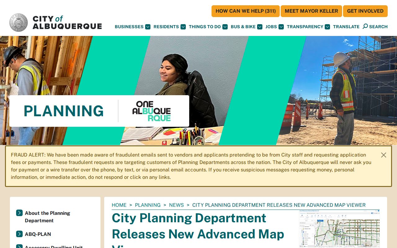
The updated City map supports a current municipal check, but it does not change the separate jurisdiction, property-record, or privacy limits described above.
Bernalillo County Neighbor Privacy Limits
Some information must remain outside a block search. Court Case Lookup does not display address information. Driver-license information is confidential. Utility and delivery lists were not found as public lists. The individual voter service is not a public by-street browser. Safe at Home uses a confidential substitute address for qualifying New Mexico participants, and public agencies must not disclose protected addresses through a records request. These are limits on disclosure, not gaps to work around.
If an official property or recorded record appears wrong, contact the custodian that created it, provide the record identifier and any supporting proof requested, retain the response, and recheck the source. The Assessor advises independent verification because its information may not be real-time. The Clerk cautions that online information is not certified. Those warnings matter when comparing neighboring parcel records.
Lawful use. Use public records to understand property and community context, reconnect with people who welcome contact, or verify a specific public record. Do not use information about nearby people to watch, harass, threaten, or intimidate anyone.
Note: A protected address, restricted result, or no-result must be respected and does not establish that a person or household is absent from the block.