
Bernalillo County ZIP Code Directory Coverage
The documented ZIPs below are postal and locality cues from County, City, and USPS sources. They are not an official countywide list of every current delivery, PO Box, or unique ZIP touching Bernalillo County. Research found no single official source that enumerates all such ZIPs. Use the table to spot an area or special-use clue, then confirm an individual street address and any ZIP+4 with USPS.
| ZIP Code | Areas Covered | Post Office / Locality Cue | Notes |
|---|---|---|---|
| 87008 | Cedar Crest | East-Mountain mailing locality | Verify each delivery address with USPS. |
| 87015 | Edgewood, Tijeras, Sandia Park area | Route can cross county or locality context | Do not infer county residency from the ZIP. |
| 87026 | Laguna and Tohajiilee area | County and service-area edge | Postal service area is not a jurisdiction line. |
| 87047, 87059 | Sandia Park; Tijeras, Chilili, Sandia Park area | East-Mountain locality cues | Confirm the exact street and service address. |
| 87048, 87068 | Corrales or Albuquerque fringe; southern fringe | Fringe and rural route cues | Postal locality can cross city or county context. |
| 87101 | Albuquerque Main Office PO Box range | USPS Main Albuquerque office | 87101-0001 is listed by the office; it is not a geographic neighborhood code. |
| 87102, 87104 to 87114 | Central or downtown and major Albuquerque delivery zones | City map context | Check an exact address and ZIP+4 with USPS. |
| 87115, 87117, 87185 | Kirtland and military-address context | Address-specific military routing | 2017 postal guidance routes 87117 and 87185 to Kirtland AFB 87117. |
| 87116, 87120 to 87123 | Albuquerque delivery areas | City map context | 87118 was discontinued and former uses were directed to 87116. |
| 87124, 87131 | Rio Rancho fringe; University of New Mexico | Fringe and institutional cues | Neither establishes a neighborhood-wide or county jurisdiction result. |
The County ZIP-layer description includes Bernalillo County plus a six-mile buffer. That makes its polygon useful for orientation but unsafe as a boundary claim. The City’s ZIP map applies to municipal map coverage, while a live delivery address belongs with USPS. A ZIP code is not a city limit, county line, precinct, parcel, legal description, or proof that a particular person lives at an address.
Verify Bernalillo County ZIP Codes With USPS
Start with the full street address, not a locality label. The official USPS lookup checks a street address or city and state and can provide live delivery and ZIP+4 information. This step is especially useful in East-Mountain and fringe areas where a mailing locality can sound like a city name but does not identify the governmental office with the record. Recheck a special ZIP or a PO Box before relying on an older document or map.
The official USPS ZIP Code Lookup is the verification route for a live delivery address.
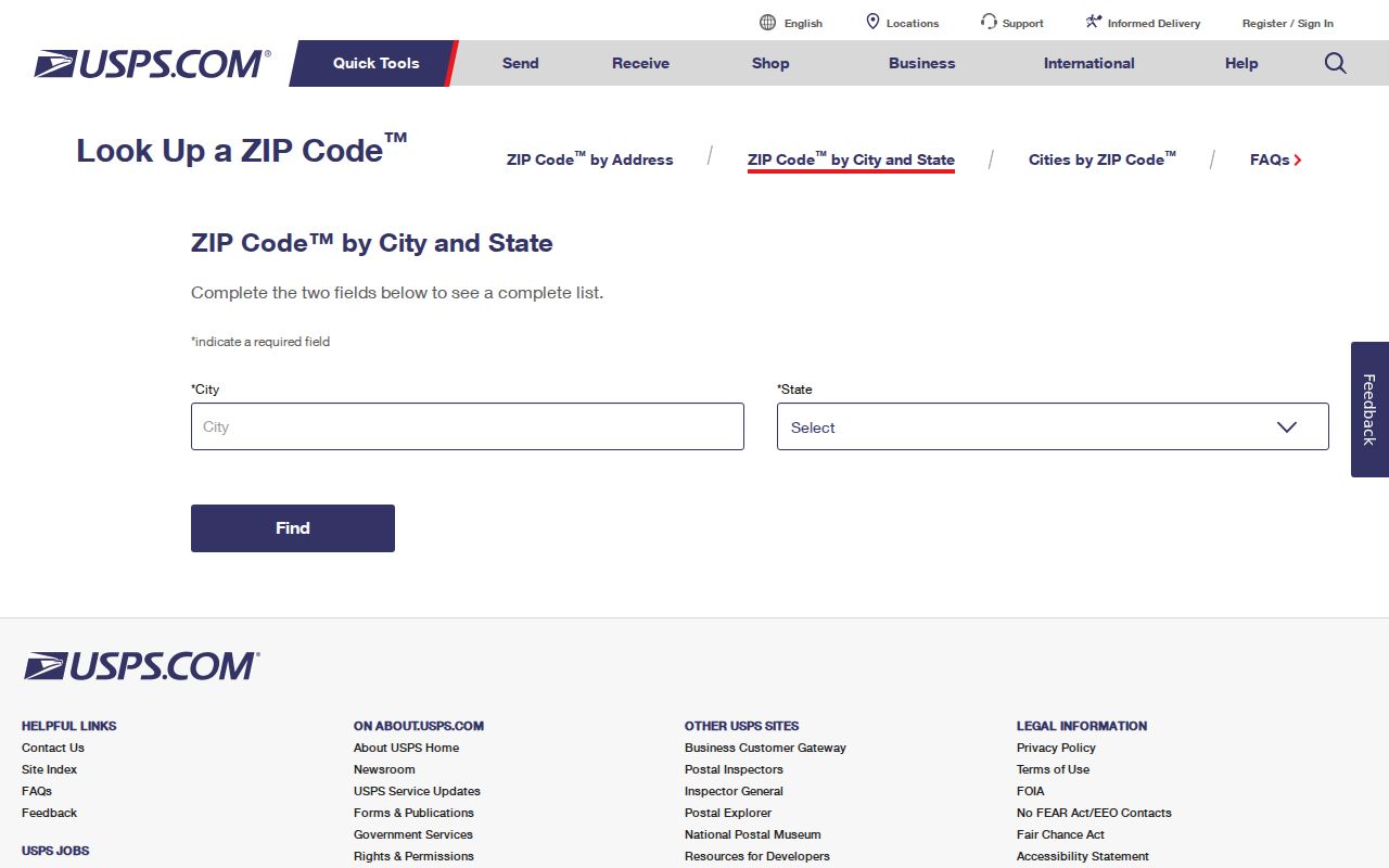
USPS confirmation resolves the delivery question. It does not determine a parcel’s legal description, ownership, city services, or county jurisdiction.
- ZIP code
- A postal delivery code used to sort mail. It is not a legal land boundary.
- ZIP+4
- An added four-digit delivery detail that USPS verifies for a specific address or mail-receiving point.
- PO Box ZIP
- A ZIP used for a post-office box range, which may not describe a geographic neighborhood.
- Unique ZIP
- A ZIP associated with an institution or specialized delivery setting, not necessarily the surrounding area.
- Carrier route
- A postal delivery sequence. It is not a government district or resident list.
Bernalillo County ZIP Code Search Fields
The County Accela Building search is a real local portal with a Zip field. It offers 24-hour access to land, permit, inspection, and code-enforcement information for an unincorporated address. A ZIP filter can narrow a permit or planning search, but it does not return a countywide directory of people. Resolve whether the address is in city or unincorporated county jurisdiction before treating an empty result as meaningful.
| Accela Building Search Field | Use |
|---|---|
| Search Type | Choose General Search, Search by Address, Licensed Professional Information, Record Information, or Contact. |
| Record Number | Optional text field, maximum length 30. |
| Record Type | Optional dropdown for the portal’s building record categories. |
| Start Date / End Date | Optional date pair in mm/dd/yyyy format. The portal notes that removing Start Date searches the full database. |
| Street Name / Street Type | Optional address fields. The street-name example is Coors. |
| City | Optional text field, maximum length 30. |
| Zip | Optional ZIP filter for the selected mode. |
The County Accela Building search is the source for those fields and for the jurisdiction-specific record types.
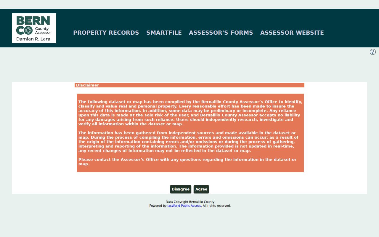
The Assessor search pictured here supports address, parcel, tax-year, and owner-record research. Its documented search controls do not make the property roll a ZIP-wide resident list, so use a verified address or parcel after narrowing the postal area.
Property records also distinguish a situs, or physical property site, from an owner mailing address and a legal description. A ZIP attaches to a mailing or delivery address. It does not replace the lot, block, subdivision, or survey terms used in recorded land records.
Bernalillo County Special ZIP Code Clues
Some local ZIPs need more care than a standard neighborhood label. ZIP 87101 is an Albuquerque Main Office PO Box range, and the Main Albuquerque office lists 87101-0001. ZIP 87131 is shown for the University of New Mexico on the City map. These examples are useful delivery clues, but neither should be expanded into a claim about every nearby address or person.
Military-address context requires the same restraint. The research identifies 87115, 87117, and 87185 with Kirtland context. A 2017 USPS bulletin directs 87117 and 87185 to Kirtland AFB 87117, subject to address-specific confirmation. A special delivery ZIP says how mail is handled, not which local government holds every related record.
Note: A special ZIP can narrow a postal question, but a complete street address is still needed before comparing City, County, parcel, or permit records.
Bernalillo County ZIP Code Locality Cues
East-Mountain and fringe names need address-level checking. Cedar Crest is the documented cue for 87008. Sandia Park appears with 87047 and with the 87059 Tijeras and Chilili area. Edgewood, Tijeras, and Sandia Park are documented around 87015. These labels can help find a postal starting point, but routes can cross locality and county context.
Corrales and Albuquerque fringe references around 87048, southern-fringe information for 87068, and the Laguna or Tohajiilee service-area cue for 87026 carry the same caution. Pair the actual street and USPS result with the City or County map system before choosing a parcel, planning, or records office. A mailing locality is not a substitute for a legal description or jurisdiction finding.
Search the Bernalillo County ZIP Code Directory
A ZIP code can narrow an address investigation without becoming a people list. Use the postal result to identify the complete street and locality wording, then choose the source that is keyed to the actual question. The City Address Report and Advanced Map Viewer cover municipal address and parcel context but exclude county zoning. County PDS GIS and E911 layers serve unincorporated and CAD needs. The correct route depends on jurisdiction, not on the familiar name of a mailing locality.
- Enter the full address in the USPS lookup and preserve the returned ZIP or ZIP+4.
- Check whether the address belongs in City or unincorporated County mapping before searching a permit, parcel, or planning record.
- For an unincorporated address, use the Accela Zip field with street, record type, or date terms to narrow permit or planning evidence.
- Use the Assessor or Treasurer address or parcel route for property context. An owner record is not evidence of an occupant.
- When one verified street needs an address-by-address record trail, use the Bernalillo County street directory rather than stretching the postal search beyond its purpose.
New Mexico Voter Services, also called NMVOTE, is not a ZIP browser. The personal registration lookup requires first name, last name, date of birth, and county, including Bernalillo. The state’s voter-data request process has its own legal scope and affidavit requirements, so a ZIP alone is not the documented public query path.
Bernalillo County ZIP Code Boundaries
Postal geography changes at the edges of the county. Cedar Crest, Tijeras, Sandia Park, Corrales fringe, Laguna or Tohajiilee service areas, and Edgewood routes are all research leads, not proof of county or municipal jurisdiction. Pair the complete address with City-versus-County mapping and a legal description. This is particularly important where the County ZIP GIS layer extends six miles beyond the county.
The County ZIP-layer description documents both the layer and its six-mile buffer.
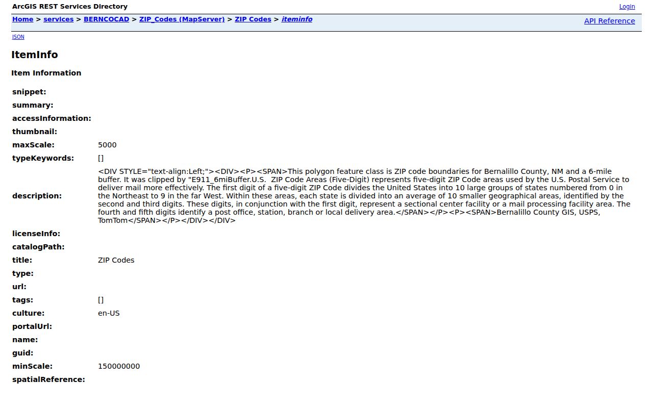
A buffered GIS polygon can help orient a search, but it must not be relabeled as a county line, City limit, parcel boundary, or residence finding.
ZIP Code Boundaries vs Bernalillo County
Albuquerque’s four-quadrant grid helps distinguish street locations, but it does not control a ZIP boundary. Central Avenue divides north and south, while the Santa Fe Railway tracks divide east and west under the City Code. The City’s historical address change also matters: about 650 street names changed with the four-quadrant system on July 1, 1952, and Railroad Avenue became Central in 1912. A historic address should be searched under its older form and its modern form before matching it to a ZIP or map.
Postal areas and record systems serve different functions. City GIS supplies municipal address and parcel context. County PDS GIS supplies unincorporated coverage. The Bernalillo County Clerk, Records Public Access Kiosk holds recorded-document routes that depend on legal or parcel identifiers, not on a ZIP. When a record’s situs, mailing address, and legal description disagree, retain each field as it appears instead of forcing all three into a single postal label.
The 2004 USPS discontinuance bulletin directed former 87118 uses to 87116. That history can explain an older address record, but USPS should confirm the current delivery code.